
- Project Case, Mthawira Parkway
15°47’S 35°00’E
Blantyre, Malawi
MTHAWIRA PARKWAY
REHABILITATION
PROJECT
Environmental & Social Impact Assessment
Blantyre Malawi
An Environmental & Social Impact Assessment for the rehabilitation and upgrading of approximately 8.3 km of Mthawira Parkway under the Regional Climate Resilience Program for Eastern and Southern Africa — Phase 2.
CORRIDOR
8.3 KM
Project corridor length
LOCATION
BLANTYRE
Malawi · Southern Region
PROGRAMME
RCRP-2
Regional Climate Resilience Program · Phase 2
ASSESSMENT
FULL ESIA
Environmental & Social Impact Assessment
CLIMATE-RESILIENT URBAN DEVELOPMENT – INFRASTRUCTURE RECOVERY
Mthawira Parkway is an important urban transport and economic corridor connecting Chirimba, Mthawira, South Lunzu and surrounding communities within Blantyre.
The proposed rehabilitation responds to deteriorated pavement conditions, inadequate drainage, erosion, flooding and damage associated with Tropical Cyclone Freddy and recurrent extreme rainfall events.
The project is therefore being approached as an opportunity to strengthen urban mobility, road safety, climate resilience and community wellbeing — not merely to restore a road, but to build a more resilient urban artery.
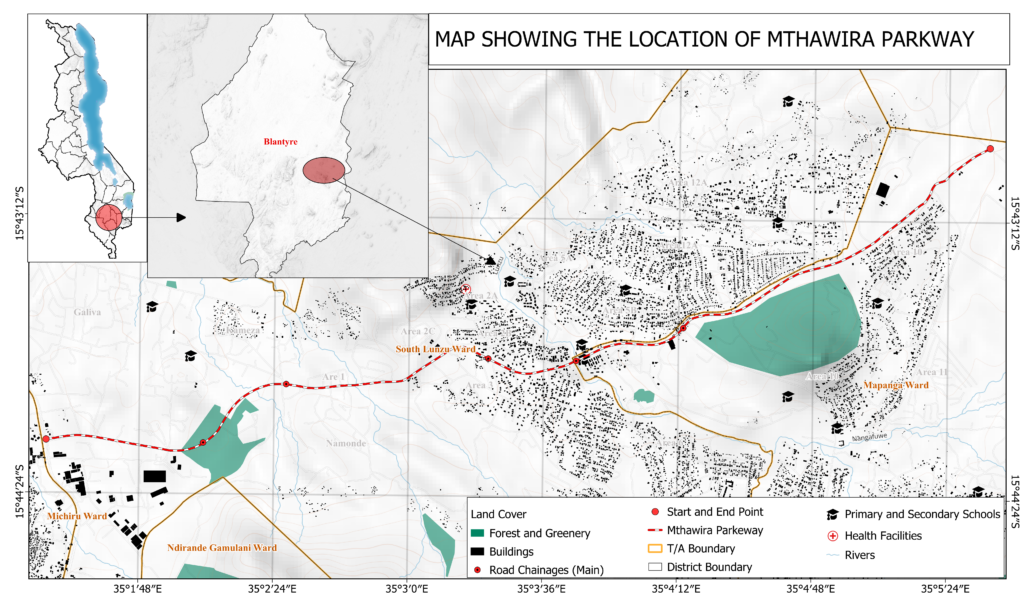
— SPATIAL CONTEXT
Project Location
Blantyre
SCALE
1: 25,000 · UTM 36S
Matex international Ltd
PROJ: WGS84 / UTM 36S
– PROJECT AT A GLANCE
ONE ASSESSMENT.
Project
Mthawira Parkway Rehabilitation
Location
Machinjiri, Blantyre
Corridor
Mthawira Parkway – Chileka Road Junction, Chirimba → Machinjiri Area 12 Four-Way Intersection
Length
Approximately 8.3 km
Programme
Regional Climate Resilience Program for Eastern and Southern Africa — Phase 2
Assignment
Environmental & Social Impact Assessment For The Rehabilitation of Mthawira Parkway in Machinjiri Area, Blantyre City.
Project ID
MW-EP&D-505794-CS-QCBS
WHAT IS BEING REHABILITED?
Complex interlocking components define the Mthawira Parkway rehabilitation — each responding to specific engineering, environmental, social and climate-resilience requirements
ROAD REHABILITATION
Pavement rehabilitation, reconstruction, asphalt surfacing and shoulder improvements along the full 8.3 km corridor.
DRAINAGE & FLOOD RESILIENCE
Upgrading culverts, drainage structures and stormwater systems to manage peak flows and extreme rainfall events.
BRIDGES & CROSSINGS
Rehabilitation of damaged crossings, bridge structures, culverts and protection works against scour and erosion.
ROAD SAFETY
Improved pedestrian facilities, crossings, traffic management and safer road interfaces for all users.
CLIMATE RESILIENCE
Infrastructure improvements designed to better withstand flooding, extreme rainfall and erosion under future climate scenarios.
UNDERSTANDING THE PROJECT RISK BEFORE IMPLEMENTATION
Mthawira Parkway passes through a complex urban and peri-urban environment where infrastructure intersects with communities, businesses, schools, markets, public facilities, utilities, drainage systems and environmentally sensitive areas.
A scoping study identified risk structures for the environmental and social assessment — each requiring specialist investigation, baseline data and targeted mitigation.
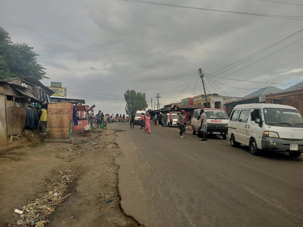
FLOODING & DRAINAGE
Recurrent flooding, drainage overtopping and inadequate stormwater capacity.
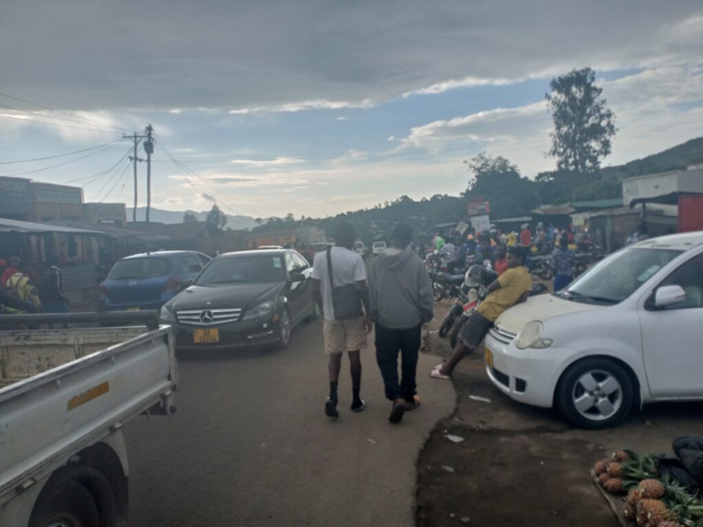
COMMUNITY & ROAD SAFETY
High pedestrian activity, informal crossings, mixed traffic and vulnerable road users along dense urban sections.
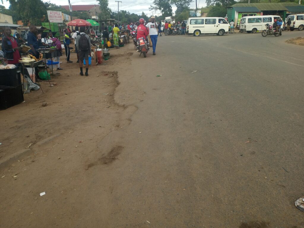
LIVELIHOODS & BUSINESSES
Roadside trading, informal enterprise and access-dependent livelihoods concentrated along the corridor.
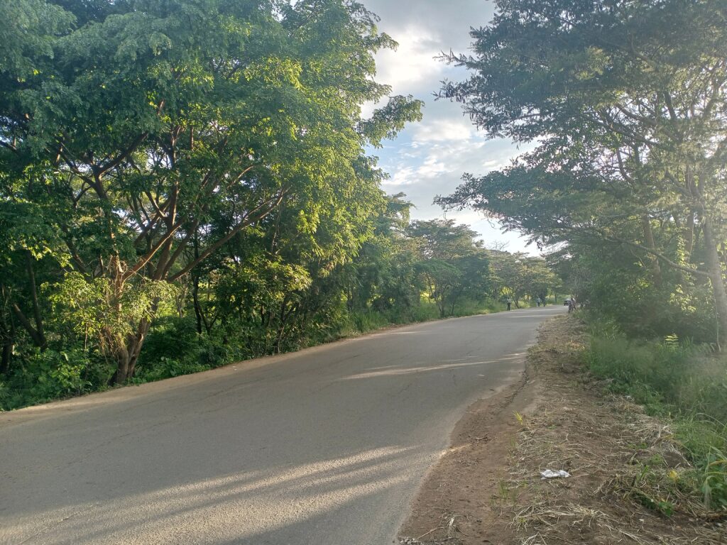
BIODIVERSITY
Vegetation, habitats, drainage-line ecology and protected species within and adjacent to the corridor.
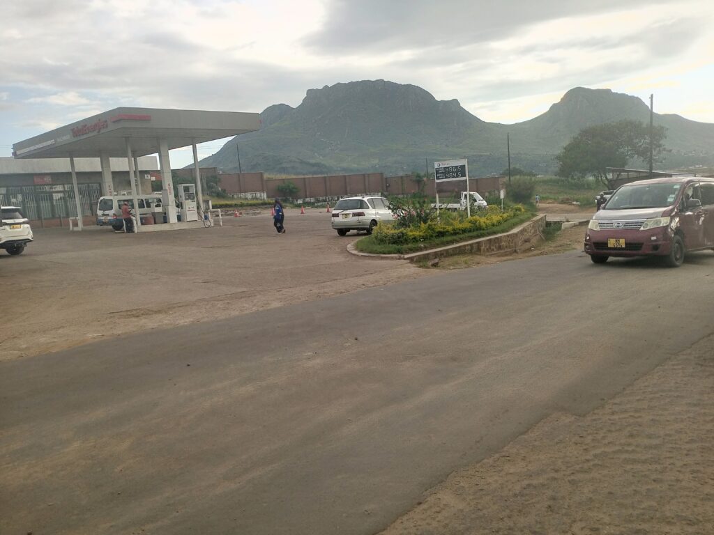
UTILITIES & SERVICES
Water, electricity, telecommunications and sewerage infrastructure embedded within the road reserve.
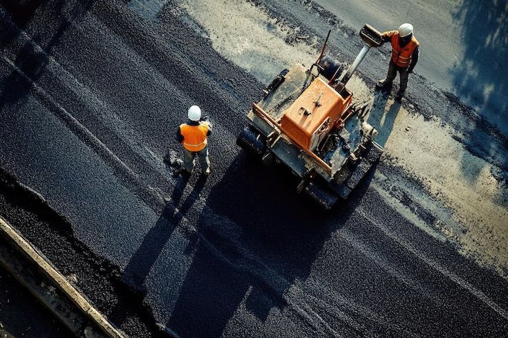
CONSTRUCTION IMPACTS
Noise, dust, vibration, traffic disruption, occupational hazards and temporary livelihood effects during works.
SOCIAL RECEPTORS ALONG THE CORRIDOR
WHERE INFRASTRUCTURE MEETS PEOPLE
Understanding infrastructure requires understanding the systems and people connected to it. The ESIA maps and assesses every receptor along the 8.3 km corridor.
R – 01
Schools
R – 02
Markets
R – 03
Clinics
R – 04
Forests
R – 05
Trading Centres
R – 06
Fuel Stations
R – 07
Religious Facilities
R – 08
Major Intersections
ENVIRONMENTAL & SOCIAL IMPACT ASSESSMENT
01
ENVIRONMENTAL BASELINE
Air, water, soil, noise and physical environment characterisation.
02
SOCIAL BASELINE
Demographics, livelihoods, services, vulnerability and gender.
03
BIODIVERSITY
Flora, fauna, habitats, ecological corridors and protected areas.
04
HYDROLOGY
Drainage, runoff, flood hydrology and hydraulic assessment.
05
GIS & SPATIAL ANALYSIS
Spatial data integration, mapping and sensitivity overlay.
06
STAKEHOLDER ENGAGEMENT
Consultation, disclosure, grievance and feedback management.
07
CLIMATE RESILIENCE
Climate risk, disaster vulnerability and adaptive design measures.
THE ESIA APPROACH – FROM INCEPTION TO DECISIONS
A structured five-stage assessment process — from inception to management decisions — aligning Malawi regulatory requirements with World Bank Environmental & Social Standards.
01
Stage
INCEPTION
Project understanding, document review, and preliminary risk identification
Phase 01
02
Stage
SCOPING
Project understanding, document review, and preliminary risk identification
Phase 02
03
Stage
BASELINE
Project understanding, document review, and preliminary risk identification
Phase 03
04
Stage
IMPACT ASSESSMENT
Project understanding, document review, cumulative & Indirect Impact Assessment
Phase 04
05
Stage
ESIA REPORT
Development of mitigation, enhancement, monitoring and management measures.
Phase 05
PARTNER WITH MALAWI PLANNING INFRASTRUCTURE IN MALAWI?
Connect with Matex International for environmental and social assessment, climate resilience, GIS and specialist environmental consultancy.
PROJECT REFERENCE
PROJECT
Mthawira Parkway Rehabilitation
PROGRAMME
LOCATION